
Spain has a highway network where both toll sections and free access expressways coexist. Since the expiration of several autopista concessions, major routes like the AP-7 along the Mediterranean coast have come under public management, without toll barriers. For a French driver crossing the border, the challenge is not so much knowing that these roads exist, but accurately identifying them before and during the journey, with a map in hand or an app open.
Spanish Road Nomenclature: Distinguishing Autovía and Autopista on a Map
Before looking for an app, it’s essential to understand the classification system. In Spain, roads with the prefix “A” (autovías) are generally free. Roads with the prefix “AP” (autopistas de peaje) have historically been toll roads.
Recommended read : What does the wrench icon on the Citroën C3 dashboard mean and how to respond?
The catch is that several former APs have lost their tolls without immediately changing their signage on all digital maps. The AP-7 between La Jonquera and Alicante is the most striking example: the AP-7 is free for almost the entire Mediterranean coast, but some apps still display a toll icon on sections that have been free for several years.
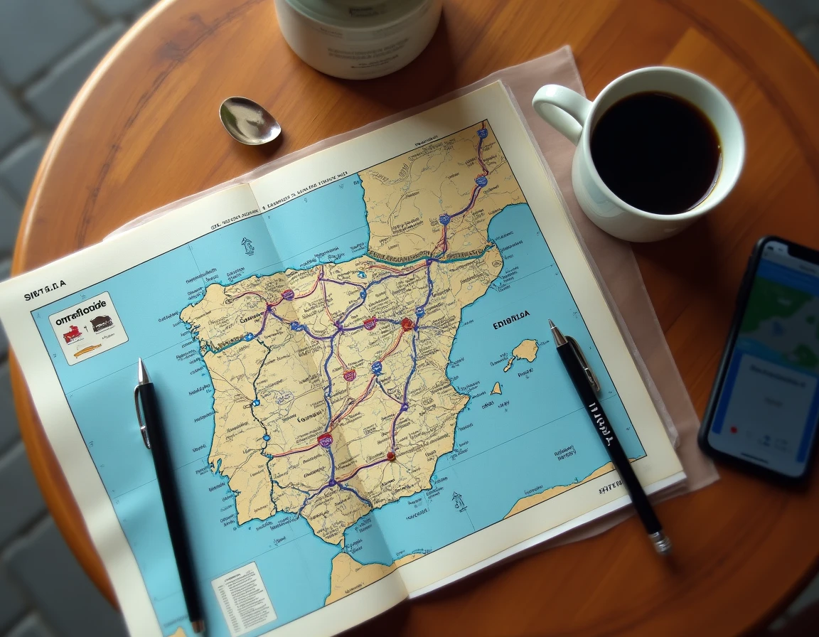
A detailed guide lists the free highways in Spain on 1 Voyageur with an interactive map that distinguishes sections according to their current status.
See also : How to Get Free Training in Excel?
The autovías (A-1, A-2, A-3, A-4, A-5, A-6, A-7) form the free backbone of the network. They connect Madrid to the major peripheral regions. In contrast, some autopistas remain toll roads, particularly in the Basque Country (AP-8) and in Catalonia on specific sections. Checking the prefix “A” or “AP” remains the first reflex, but it is no longer sufficient since the recent liberalizations.
Google Maps and Waze Facing Spanish Free Highways: Comparative Reliability
The two dominant apps do not handle toll data in the same way, and this difference has direct consequences on the proposed route.
Waze: “Avoid Tolls” Option and Community Reporting
Waze allows users to activate the “avoid tolls” option in its routing settings. On the Spanish network, this feature effectively redirects to the free autovías. The app also benefits from real-time reports from its community of users, providing indications on traffic jams or radar checks on heavily trafficked sections.
The limitation of Waze lies in its dependence on the mobile network. In some rural areas between Madrid and Extremadura, or in the interior of Andalusia, coverage can weaken. Downloading offline maps is not possible on Waze, which poses a concrete problem for long crossings.
Google Maps: Offline Maps but Sometimes Outdated Toll Signage
Google Maps offers the ability to download entire areas for offline use. For a journey of several hundred kilometers across Spain, this is a real advantage. The “avoid tolls” option is also available in the routing settings.
However, the update of toll data is less responsive than on Waze. Users report that Google Maps sometimes continues to indicate a toll cost on sections that have become free. Cross-referencing Google Maps with a dedicated map of the Spanish free network remains prudent to avoid unnecessary detours on secondary roads.
Complementary Apps to Optimize a Toll-Free Journey in Spain
Beyond pure navigation, other tools are worth having, especially for long trips in a camper or van.
- Fuel price apps like Benzínky display gas stations on a map, in almost real-time, along the autovías. Driving for free on the highway does not exempt one from monitoring fuel prices, which vary significantly from one autonomous community to another.
- The DGT (Dirección General de Tráfico) app, the Spanish equivalent of Bison Futé, provides real-time traffic status on the national network, including ongoing roadworks and traffic restrictions. It is particularly useful during the summer when former toll sections that have become free experience a surge in vehicles.
- For camper drivers, checking weight and size restrictions on certain sections is necessary before departure. Limitations exist, for example, on the AP-1, and they are not always indicated by mainstream GPS devices.
Kilometric Toll in Spain: A Free Status That May Not Last
The current free status of many Spanish highways stems from the expiration of private concessions. The government has taken over the management of these routes and has chosen, for now, not to reinstate direct tolls.
Since the Spanish Climate and Energy Transition Law (Ley 7/2021), a project for per-kilometer pricing across the entire state road network is officially under consideration. The principle of “who uses, pays” has been associated with the Recovery Plan submitted to the European Commission. This system could potentially affect the currently free autovías.
The project has been postponed several times under political and social pressure. Field feedback varies on this point: some analysts consider its adoption inevitable in the medium term, while others believe that political costs will prevent its implementation for several years. The current free status is not guaranteed in the long term, and a traveler planning a regular road trip in Spain should keep an eye on the developments of this issue.
For a well-prepared journey, the most reliable combination remains an updated map of the free network, Waze or Google Maps configured to avoid tolls, and a manual check of the road prefixes on the planned itinerary. Once understood, the Spanish nomenclature makes reading signs and maps much clearer than the French system.